Environmental News from India: Mangrove Damage
- In two separate studies, scientists have harnessed satellite images to capture changes in the Sundarbans mangroves and the shores that harbor them, following cyclones. Remote sensing using satellite images can help long-term monitoring and tracking of changes in the health of such ecosystems.
- Frequent cyclone damage slows the recovery of mangroves and changes the forest composition in comparison to other regions that didn’t witness many cyclones.
- Of the three recent cyclones (Bulbul, Fani, and Amphan), cyclone Amphan caused the most Mangrove damage of the Sundarbans with the highest mangrove loss along shorelines that were eroding over the past 35 years.
- Eroding shorelines have different features that must be accounted for in mangrove forest management, say researchers.
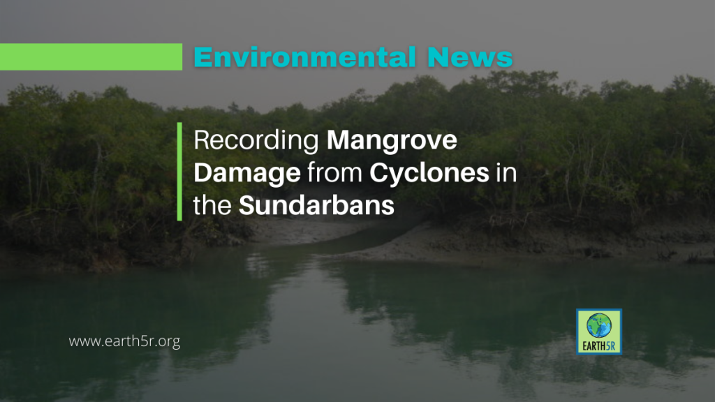
Satellite images of the Sundarbans mangroves along the Bay of Bengal, that capture changes before and after tropical cyclones, are helping make sense of mangrove damage from extreme weather events and create records of the impacts of cyclones on these ecosystems.

Recent studies flag the importance of continuously monitoring these ecosystems that are at risk due to climate change, coupled with the legacy of historical shoreline changes from human activities.
Frequent cyclones not only damage the mangrove trees but also slow their natural recovery processes. This repeated exposure alters the forest composition, making it different from regions that have experienced fewer storms. The weakened recovery rate, coupled with the changing climate, poses a challenge to the long-term health of the Sundarbans and its ability to provide critical ecosystem services such as carbon sequestration, coastal protection, and habitat for diverse species.
Researchers emphasize that mangrove forest management must account for the features of eroding shorelines and the escalating frequency of extreme weather events. Using satellite-based remote sensing, they are developing strategies to mitigate mangrove damage and enhance their recovery. These findings underscore the urgency of protecting mangroves, as their loss not only endangers biodiversity but also compromises the resilience of coastal communities.
By addressing the factors contributing to mangrove damage and prioritizing effective management, India can safeguard the Sundarbans and ensure they continue to thrive amidst the growing challenges of climate change and extreme weather.
The Sundarbans mangrove ecosystem in India, for example, is classified as endangered in the IUCN’s Red List of Ecosystems framework. Historical threats came from clearing mangroves dating back to the 1800s and declining fish populations. Ongoing threats like climate change and reduced freshwater supply are heaping pressure on this ecosystem. New research shows that Sundarbans mangroves are beginning to erode faster under the combined assault.
To read top environmental news from India, please visit Earth5R
Source: Mongabay