High school GIS internship and research fellowship
This high school GIS internship lets students in Grades 9 to 12 map real environmental problems in their own city, with a mentor who checks their maps and data sources. You combine geo-tagged field data with public satellite images to map waste points, green cover or flood-prone streets near home, and explain what each map shows.
For school students who take IB Geography or ESS, or IGCSE and CBSE Geography, and like maps, satellite images and local problems. Online, with field work near home and a parent or guardian present at every self-guided activity. The fellowship is paid because every student receives time and attention from senior researchers and leaders.
Why GIS and mapping matter for sustainability
Every environmental problem happens somewhere. Litter tends to collect at the same corners week after week. After heavy rain, the lowest streets fill with water first. A GIS lets you stack these facts as layers on one map and see how they relate. Satellite images show a whole city from above, so you can follow green cover and new buildings across many years.
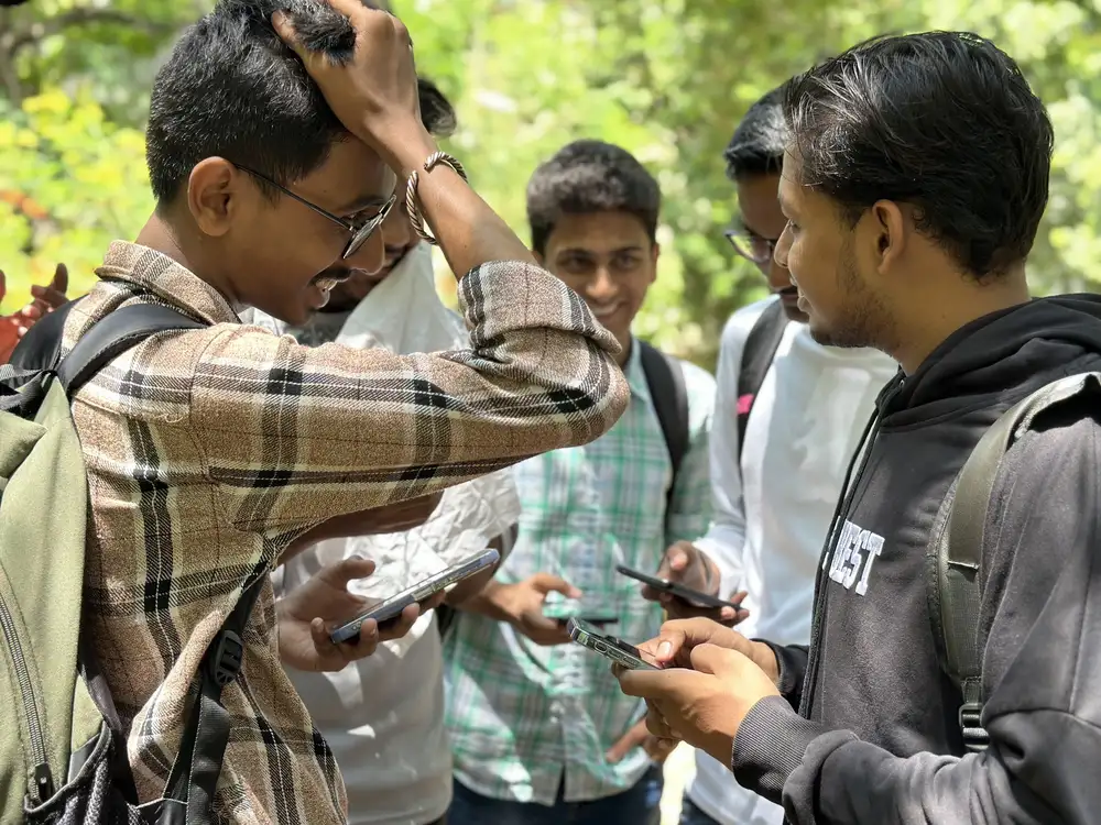
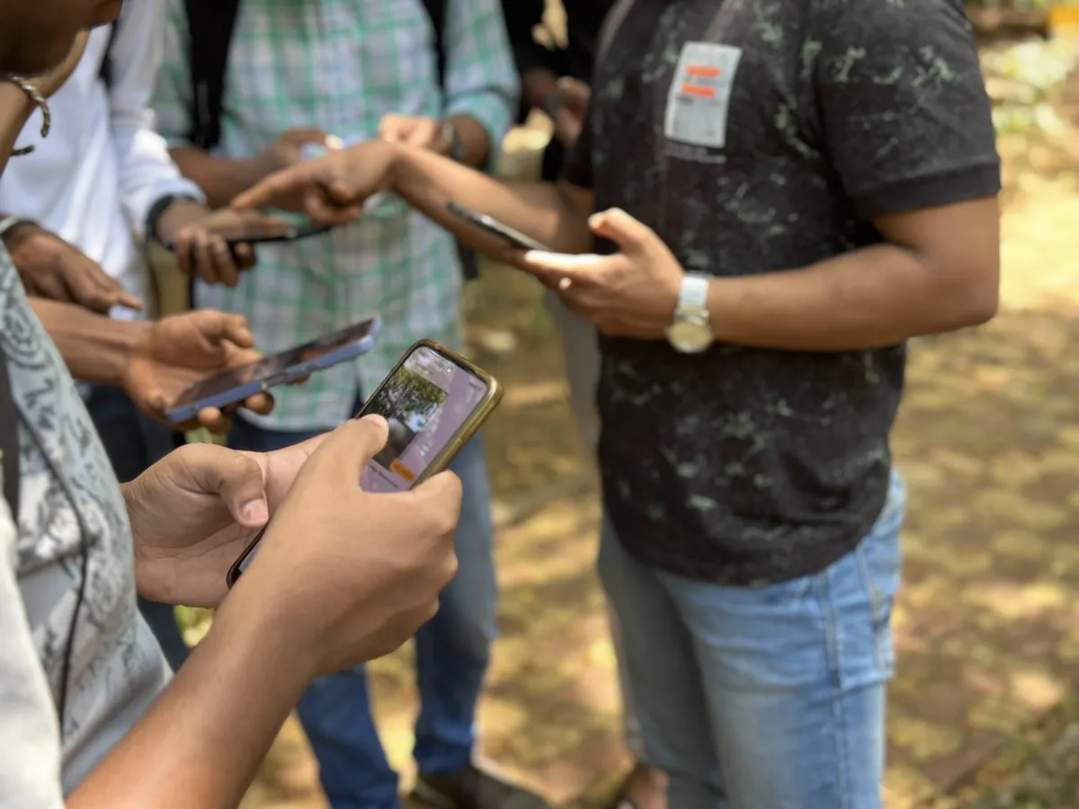
Each record on the Earth5R app carries a photo and a location, whether it comes from a waste audit, a cleanup, a tree plantation or a household survey. That means it can go straight onto a map. As a fellow you map data like this for your own area, add satellite layers and check a few points near home to see whether the map matches what is there.
This work links to the UN Sustainable Development Goals: Goal 11, Sustainable cities and communities and Goal 13, Climate action.
Available projects in this high school GIS internship
Each project fits around school work and takes place near home. Your mentor shapes the final project with you.
Waste point map
Map geo-tagged cleanup and waste audit records for your area, find the spots where waste keeps returning, and check a few of them near home with a parent.
Green cover over the years
Use public satellite images to measure how green cover in your neighbourhood has changed over the years, and compare it with tree plantation records from the Earth5R app.
Flood memory map
Ask family and neighbours which streets near home flood after heavy rain, map their answers over terrain data and drain locations, and mark where waste may block the water.
Neighbourhood heat map
Map heat across your neighbourhood using satellite heat data, and show where more trees or rooftop plants could help cool homes, building on Earth5R’s rooftop plantation work.
What you do in the field
- Record geo-tagged points near home with the Earth5R app
- Download public satellite images for your area
- Build map layers in QGIS or Google Earth Engine
- Measure change in green cover or built-up land
- Check a sample of points against what you see on the ground
- Present your maps in a research conversation and explain your method
Skills you build
On a high school GIS internship, you collect your own data near home with a parent or guardian, using the Earth5R app and data forms. Earth5R checks the data on its platform before it goes into your project report.
How a high school GIS internship fits your school programme
For IB, IGCSE, CBSE and ICSE students. Your school decides what counts towards its own requirements.
IB CAS
Sharing a waste or flood map with your housing society or a residents’ group can support a CAS project with a service element. Your CAS coordinator decides what fits.
Extended Essay and IA
A clear spatial question answered with your own field points can fit the IB Geography IA or an Extended Essay. Your supervisor and school approve the topic.
MYP, IGCSE and CBSE projects
A local mapping study can fit the MYP Personal Project and the fieldwork or project work in IGCSE, CBSE and ICSE geography.
University applications
Maps you built from your own field points and satellite data give you a concrete example for a geography, environmental science or planning application.
How the high school GIS internship works
Every student moves through four phases. Your mentor checks each phase before you move on, and sessions pause during board exams.
Observe and Map
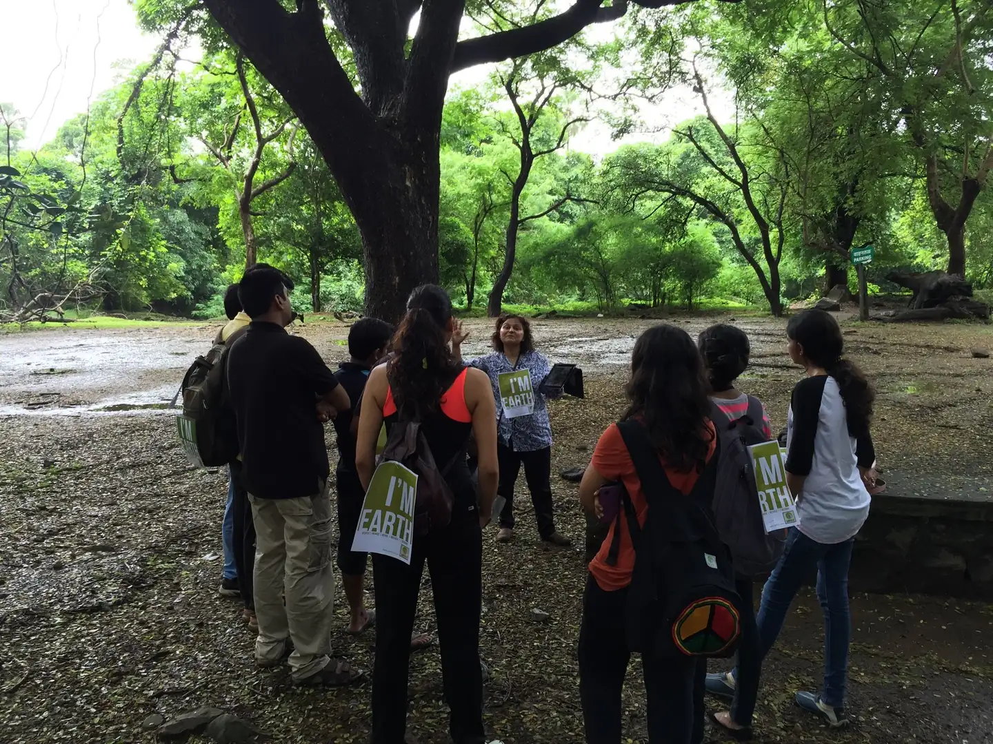
Go into the field near home, with a parent or guardian, and collect primary data for your project in GIS and Mapping.
Frame and Design
Find the root cause in your data and frame a problem worth solving, with your mentor.
Model
Build a working model, analysis or design for your solution, and test it.
Build and Deploy
Put your solution to work, measure the result and publish a verified record on earth5r.org.
Along the way you take part in research conversations with professors at MIT, Oxford, Cambridge, LSE and other universities, and ask your own questions. See how FIELDWORK works.
Where this can take you
University courses this leads to
- BSc or BA in Geography
- BSc in Geographic Information Science or Geomatics
- BSc in Environmental Science
- BA or BSc in Urban Planning
- BEng in Geospatial or Civil Engineering
Careers in this field
- GIS analyst
- Remote sensing scientist
- Urban planner
- Climate risk analyst
- Geospatial software developer
Universities to aim for in GIS and Mapping
Geography and GIS admissions tutors look for students who can work with maps and data and explain what a map can’t show. A high school GIS internship with FIELDWORK gives you maps built from your own field points and satellite images, checked by your mentor and recorded on earth5r.org. Students use a high school GIS internship to build a record of real work for applications to universities like these.
University of California, Santa Barbara (UCSB)
USA · Department of Geography
UCSB Geography’s undergraduate majors include a BA in Geographic Information Science, a BA in Geography and a BS in Physical Geography. Students learn to collect, analyse and interpret geospatial data. GIScience & Geoinformatics and Atmospheric & Climate Science are among the department’s research areas.
Pennsylvania State University (Penn State)
USA · Department of Geography
Penn State Geography offers undergraduates a B.A. or a B.S. in Geography and a B.A. in Sustainability, Society and Environmental Geography, with GIS courses as part of study. Spatial Modeling and Remote Sensing is one of its research clusters, alongside Environmental Change and Prediction.
University of Maryland, College Park
USA · Department of Geographical Sciences
Maryland’s Department of Geographical Sciences offers a Bachelor of Science in Geographical Sciences, with specialisations in Geospatial Data Science and Computational Earth Observation Science. The second covers satellite image analysis, land cover mapping and monitoring environmental change. Land Cover and Land Use Change is one of the department’s research areas.
USA · Graduate School of Geography
Despite its name, Clark’s Graduate School of Geography also teaches undergraduates, who can major or minor in geography, global environmental studies or environmental science. Geographic information science and remote sensing is one of its four research areas, and qualified undergraduates can apply to an accelerated B.A. and master’s in GIS.
Canada · Geospatial Data Science (Bachelor of Environmental Studies), Faculty of Environment
Waterloo’s Bachelor of Environmental Studies in Geospatial Data Science is taught in the Faculty of Environment. Students learn remote sensing, computer mapping, GIS, GPS and artificial intelligence, and can add a specialisation such as Climate Change. The programme runs with or without co-op work terms.
University College London (UCL)
UK · Geography BSc, Department of Geography
UCL’s three-year Geography BSc centres on physical geography and environmental processes such as climate change, water scarcity and natural hazards. Second-year options include remote sensing, and the department has specialist computing facilities for geographical information and satellite image analysis.
UK · School of GeoSciences
Edinburgh’s School of GeoSciences teaches undergraduate Geography as an MA (Hons) or a BSc (Hons), along with Earth Sciences and Environment. Its facilities include a GIS computing suite and the NERC Field Spectroscopy Facility, and the Edinburgh Earth Observatory is one of its research groups.
UK · School of Geography and Environmental Science
Southampton’s School of Geography and Environmental Science offers undergraduate degrees including BSc Geography, BA Geography, BSc Physical Geography and BSc Environmental Science. Its research groups include Southampton Geospatial and WorldPop, and the school runs a Geospatial Computing Facility.
Switzerland · Bachelor’s degree in Geospatial Engineering, Department of Civil, Environmental and Geomatic Engineering (D-BAUG)
ETH’s Bachelor’s degree in Geospatial Engineering is taught in German in the first year, with some English units later. After a first year of mathematics, statistics, computer science and a geodetic field course, students focus on collecting, analysing, visualising and using geospatial data, and write a bachelor’s thesis.
This list is for guidance. These universities offer undergraduate study in GIS and Mapping. Earth5R has no admissions arrangement with them, and admission decisions rest with each university. Students get help researching universities, scholarships and applications, depending on the programme.
What your fellowship fee pays for
An internship fellowship at Earth5R is time and attention from senior researchers and leaders. Each part below takes staff time and resources that we set aside for every fellow.
Live mentoring with experts
One-to-one mentoring in most fellowships, with regular check-ins on your project.
Dialogues with global researchers
Academics from international universities and renowned scientists, who answer your questions and discuss your work.
Support in the field
Guidance while you collect data and work on your project in the field.
References for your next step
References when you apply for jobs, higher studies and research programmes.
Your work, hosted for life
Your work and data stay on Earth5R’s website and servers for life, where universities and employers can check them.
Time from senior people
Each fellow receives time and attention from senior researchers and leaders, set aside for them.
Fee details available on request.
Choose your fellowship
The Multi-Year Fellowship can run from Grade 9 to Grade 12, with more scope each year.
The fee pays for live mentoring, dialogues with global researchers, support in the field, references and lifelong hosting of your work. Fee details available on request.
High school GIS internship: common questions
Which software will I use in this high school GIS internship?
Most students start with QGIS, which is open source, and Google Earth Engine for satellite images. Your mentor helps you set them up. You also use the Earth5R app to record geo-tagged points near home.
Does my child need to go out to collect data?
Only a little, and always near home with a parent or guardian present. Most of the work happens on a laptop with maps and satellite images. Field checks take place in public places such as streets and parks.
Do I need a powerful computer?
No. QGIS runs on most laptops, and satellite images can be processed online in Google Earth Engine. A steady internet connection helps more than a fast machine.
Is the high school GIS internship paid?
Yes. FIELDWORK is a paid, mentored programme. The fee pays for live mentoring, dialogues with global researchers, support in the field, references and lifelong hosting of your work. Fee details are available on request.
Can my child do this high school GIS internship online?
Yes. Mentoring sessions run online, and field work takes place near where you live.
Is a parent or guardian present during field work?
Yes. A parent or guardian is present at every self-guided field activity. Online sessions are for students.
Does FIELDWORK pause during board exams?
Yes. Sessions pause during board exams, so the fellowship fits around school work.
What do students get at the end?
A certificate, a letter of recommendation, a project report and a verified profile on earth5r.org, where universities can check the work.
Related subjects for school students
Already at university? See the GIS and Remote Sensing internship fellowship for university students.
Apply for a FIELDWORK fellowship in GIS and Mapping
This high school GIS internship is for students in Grades 9 to 12. Work on a live Earth5R project with a mentor, take part in research conversations with global researchers, and build a verified record of your work. Fee details available on request.