GIS internship fellowship
This GIS internship has you map real environmental problems in your own city, with a mentor who checks your maps, data sources and methods at each step. You combine Earth5R’s geo-tagged field data with satellite images to map waste points, green cover or flood-prone streets near you, and explain what each map shows.
For school and university students who like maps and want to use satellite images and field data to explain a local problem. Online, with field work near where you live. The fellowship is paid because every fellow receives time and attention from senior researchers and leaders.
Why GIS and remote sensing matter for sustainability
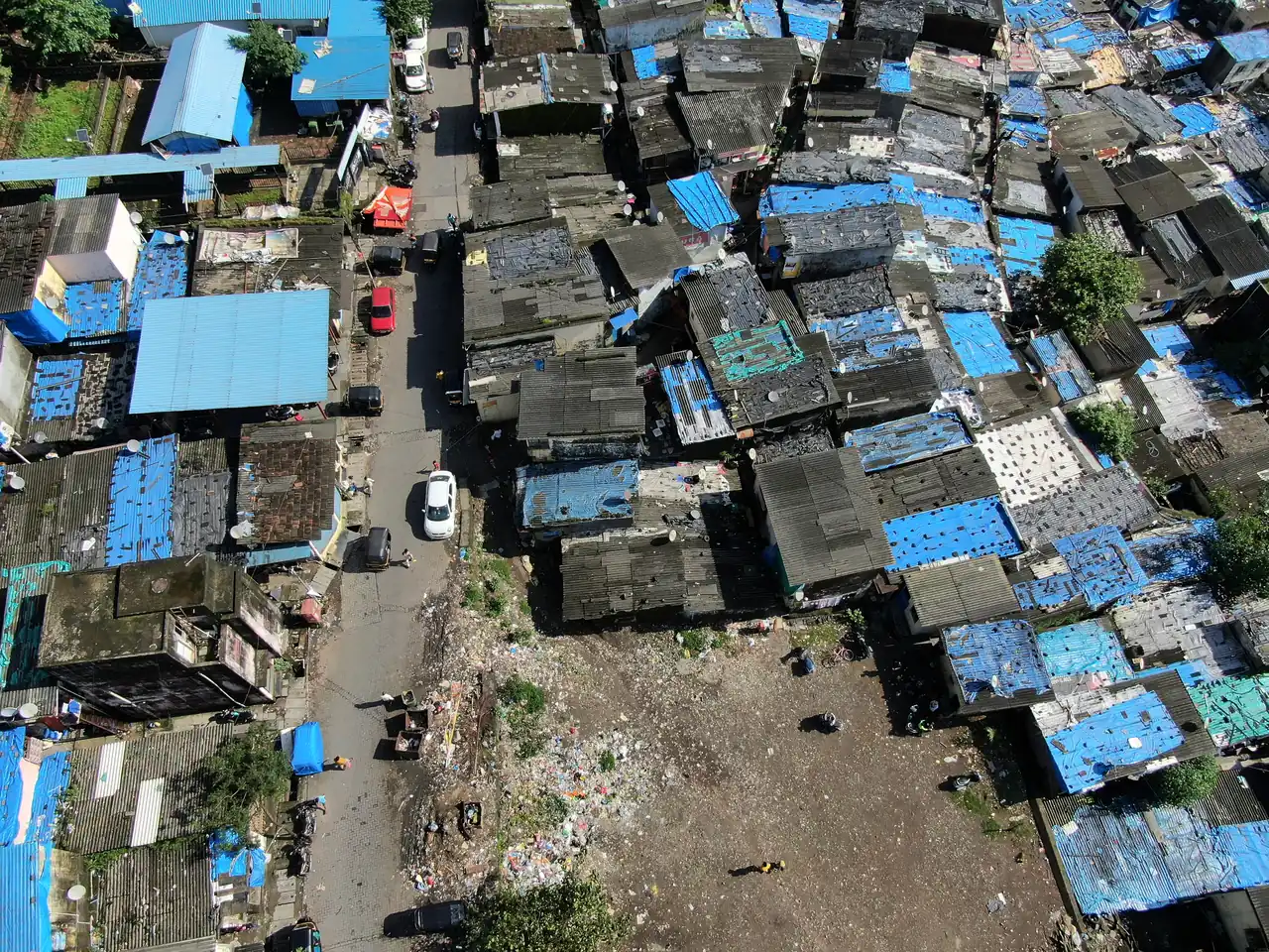
Most environmental problems are tied to a place. Waste piles up at certain corners, and floods hit low-lying streets first. GIS lets you layer these facts on one map and see how they connect. Remote sensing adds satellite images, so you can track green cover and built-up land over a whole city and across many years.
Earth5R’s app records photographed, geo-tagged field data, from waste audits and cleanups to tree plantations and household surveys. Each record has a location, so it can go straight onto a map. Earth5R works in 150+ Indian cities, and fellows do their field work near where they live. As a fellow you map this data, add satellite layers and check what the map shows on the ground.
This work links to the UN Sustainable Development Goals: Goal 11, Sustainable cities and communities and Goal 13, Climate action.
Available projects in the GIS internship fellowship
You join Earth5R’s live work through your own subject. Your mentor shapes the final project with you.
Waste hotspot map
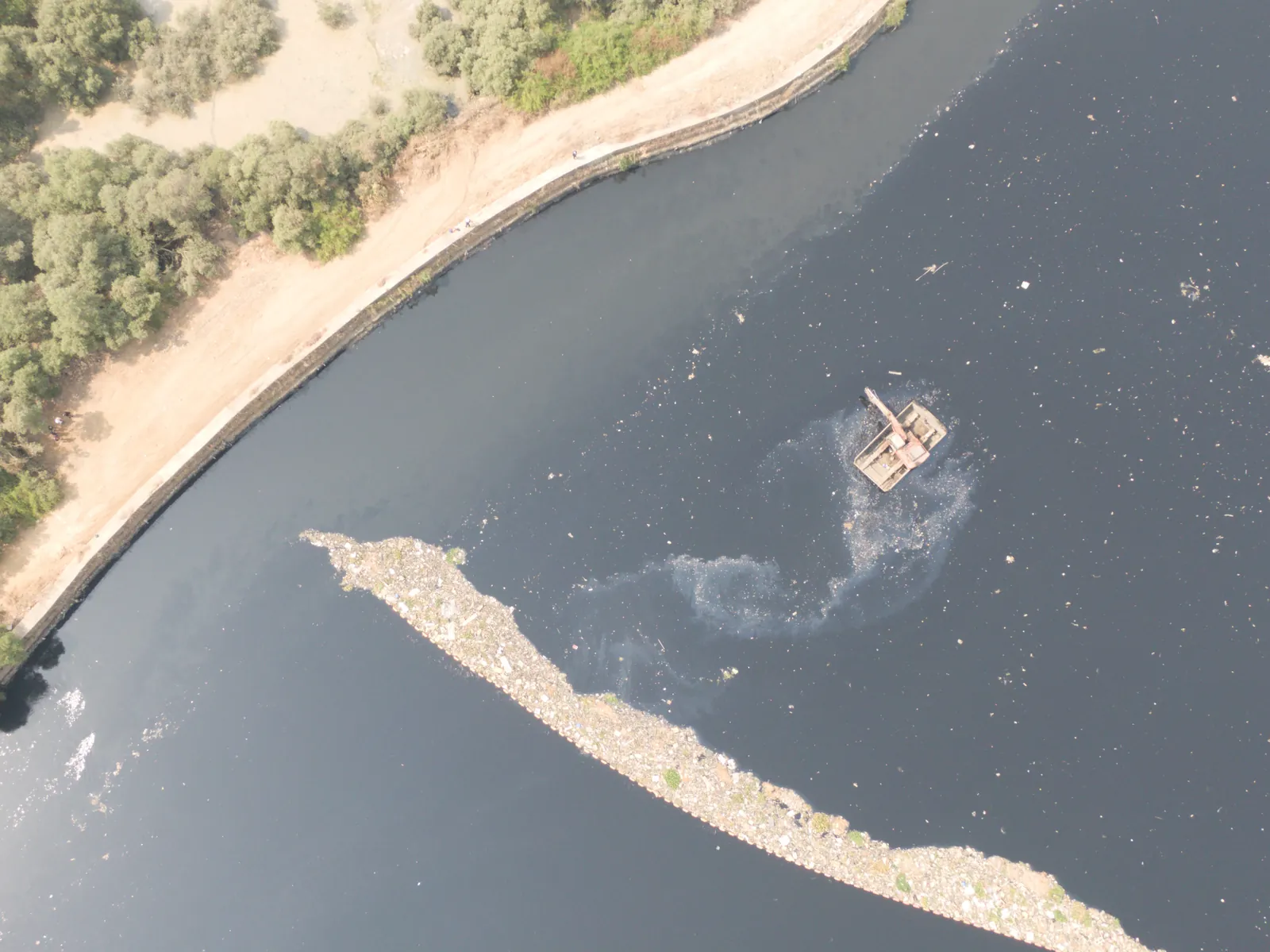
Map geo-tagged waste audit and cleanup records for your area, find the spots where waste keeps returning, and visit them to check what the map shows.
Green cover change over time
Use public satellite images to measure how green cover in your neighbourhood has changed over the years, and compare it with tree plantation records from the Earth5R app.
Flood-prone streets survey
Map streets in your area that flood during heavy rain, using terrain data, drain locations and short interviews with residents, and mark where blocked drains or waste make it worse.
Urban heat map
Map heat across your neighbourhood using satellite heat data, and show where tree cover or rooftop plants could cool homes, building on Earth5R’s rooftop plantation work.
What you do in the field
- Record geo-tagged points in the field with the Earth5R app
- Download and prepare public satellite images for your area
- Build map layers in QGIS or Google Earth Engine
- Measure change in green cover or built-up land over time
- Visit a sample of sites to compare your map with the ground
- Present your maps in a research conversation and explain your method
Skills you build
On a GIS internship, you collect your own data near where you live, using the Earth5R app and data forms. Earth5R checks the data on its platform before it goes into your project report.
How the GIS internship fellowship works
Every fellow moves through four phases. Each phase is checked by your mentor before you move on.
Observe and Map
Go into the field near where you live and collect primary data for your project in GIS and Remote Sensing.
Frame and Design
Find the root cause in your data and frame a problem worth solving, with your mentor.
Model
Build a working model, analysis or design for your solution, and test it.
Build and Deploy
Put your solution to work, measure the result and publish a verified record on earth5r.org.
Along the way you take part in research conversations with professors at MIT, Oxford, Cambridge, LSE and other universities, and ask your own questions. See how FIELDWORK works.
Where this can take you
Degrees this work supports
- BSc in Geography or Geoinformatics
- BTech in Civil Engineering or Geoinformatics
- MSc in Geographic Information Science
- MSc or MTech in Remote Sensing and GIS
- PhD in Earth observation or urban climate
Careers in this field
- GIS analyst
- Remote sensing scientist
- Spatial data analyst in urban planning
- Climate risk analyst
- Geospatial software developer
Universities known for GIS and Remote Sensing
Strong GIS and remote sensing programmes look for applicants who can work with spatial data and explain the limits of a map. A fellowship project gives you maps you built from your own field data and satellite images, checked by your mentor and recorded on earth5r.org. Students use a GIS internship to build a record of real work for applications to universities like these.
University of California, Santa Barbara (UCSB)
USA · Department of Geography
UCSB’s Department of Geography teaches an interdisciplinary undergraduate programme and MA and PhD degrees. GIScience and geoinformatics is one of its research areas, next to atmospheric, ocean and terrestrial sciences. Its Climate Hazards Center uses satellite earth observation and crop models to monitor drought and food shortages.
Pennsylvania State University (Penn State)
USA · Department of Geography
Penn State’s Department of Geography offers BA and BS degrees, an MS and a PhD. With the Dutton e-Education Institute and World Campus it also runs online master’s and certificate programmes in GIS, spatial data science, geospatial intelligence and remote sensing. Research themes include spatial modelling and remote sensing, and environmental change and prediction.
University of Maryland, College Park
USA · Department of Geographical Sciences
Maryland’s Department of Geographical Sciences studies global environmental change with satellite data and spatial analysis. Its research areas include geospatial information science and remote sensing, land cover and land use change, and carbon and vegetation dynamics. Students can take undergraduate degrees, master’s and certificate programmes in GIS and geospatial intelligence, and a PhD.
USA · Graduate School of Geography
Clark’s Graduate School of Geography offers an MS in GIS and a PhD, and undergraduates can major in geography, global environmental studies or environmental science. Geographic information science and remote sensing is one of its four research areas. The university’s Center for Geospatial Analytics builds geospatial software, including TerrSet, for conservation, climate and sustainability work.
Netherlands · Faculty of Geo-Information Science and Earth Observation (ITC)
ITC is the Faculty of Geo-Information Science and Earth Observation at Twente. It teaches master’s programmes and offers online courses through its Geoversity platform. Its work applies earth observation to food security, energy transition, climate change adaptation, disaster risk reduction, urban development and land administration, with focus areas that include geospatial AI and disaster resilience.
Wageningen University & Research
Netherlands · Laboratory of Geo-information Science and Remote Sensing
Wageningen’s Laboratory of Geo-information Science and Remote Sensing teaches in the master’s programme in geo-information science and in other BSc and MSc courses. Its projects use satellite time series to survey farm management, map illegal forest activity and carbon loss, and monitor conservation areas. Students can do theses and internships with the group, which has drones and lidar scanners.
University College London (UCL)
UK · Department of Geography, MSc Remote Sensing and Environmental Mapping
UCL Geography runs the MSc Remote Sensing and Environmental Mapping, which covers the theory and practice of remote sensing, mapping and data analysis. Students learn how data is collected across the terrestrial biosphere, atmosphere, oceans and cryosphere, and build coding skills. Staff research includes 3D laser scanning of forests, air quality and climate modelling.
UK · School of GeoSciences, MSc Geographical Information Science and Earth Observation
Edinburgh’s School of GeoSciences teaches an integrated MSc in Geographical Information Science and Earth Observation, full time or part time. Students learn to capture, manage and analyse spatial data, with funded field trips, labs and projects. Related research takes place in groups such as the Edinburgh Earth Observatory, and the school hosts the NERC Field Spectroscopy Facility.
UK · School of Geography and Environmental Science
Southampton’s School of Geography and Environmental Science offers geography and environmental science degrees and an MSc in Geographical Information Systems and Remote Sensing. Its research groups include Southampton Geospatial and WorldPop, which maps population for Sustainable Development Goal planning. A Geospatial Computing Facility supports work with geospatial data.
Switzerland · Department of Civil, Environmental and Geomatic Engineering (D-BAUG), Geomatics
ETH’s Department of Civil, Environmental and Geomatic Engineering teaches a Bachelor in Geospatial Engineering and a Master of Science in Geomatics. The field covers geographic information science and cartography, geodesy and navigation, and remote sensing and photogrammetry. Its Institute of Cartography and Geoinformation works on making geodata visible through human-computer interaction.
This list is for guidance. These universities are widely known for GIS and Remote Sensing. Earth5R has no admissions arrangement with them, and admission decisions rest with each university. Fellows get help researching universities, scholarships and applications, depending on the programme.
What your fellowship fee pays for
An internship fellowship at Earth5R is time and attention from senior researchers and leaders. Each part below takes staff time and resources that we set aside for every fellow.
Live mentoring with experts
One-to-one mentoring in most fellowships, with regular check-ins on your project.
Dialogues with global researchers
Academics from international universities and renowned scientists, who answer your questions and discuss your work.
Support in the field
Guidance while you collect data and work on your project in the field.
References for your next step
References when you apply for jobs, higher studies and research programmes.
Your work, hosted for life
Your work and data stay on Earth5R’s website and servers for life, where universities and employers can check them.
Time from senior people
Each fellow receives time and attention from senior researchers and leaders, set aside for them.
Fee details available on request.
Choose your fellowship
The fee pays for live mentoring, dialogues with global researchers, support in the field, references and lifelong hosting of your work. Fee details available on request.
GIS internship: common questions
Which software will I use in this GIS internship?
You can start with QGIS, which is open source, and Google Earth Engine for satellite images, with your mentor helping you set them up. You’ll also use the Earth5R app to collect geo-tagged points in the field.
Do I need a powerful computer?
No. Desktop GIS runs on most laptops, and satellite images can be processed online in Google Earth Engine. A steady internet connection helps more than a fast machine.
Is a GIS internship useful for planning or climate degrees?
Mapping is used in urban planning, geography, environmental science and climate risk work. A project that combines field data with satellite images gives you a concrete example to describe in applications and interviews.
Is the GIS internship fellowship paid?
Yes. It is a paid, mentored internship fellowship. The fee pays for live mentoring, dialogues with global researchers, support in the field, references and lifelong hosting of your work. Fee details are available on request.
Can I do this GIS internship online?
Yes. FIELDWORK runs online, and your field work takes place near where you live. Your mentor guides you through each step.
Who can apply?
School and university students from India and other countries. The fellowship prepares you for university, postgraduate study and work.
What do I get at the end?
A certificate, a letter of recommendation, a project report and a verified profile on earth5r.org, where universities and employers can check your work.
Related internship fellowships
Apply for the GIS internship fellowship
Work on a live Earth5R project in GIS and Remote Sensing with a mentor, take part in research conversations with global researchers, and build a verified record of your work. Fee details available on request.